I recently came across some snippets of Waikawa Beach recent history in History of Waikawa Beach
by Ron Averes Horowhenua, Pages 75 to 81, Otaki Historical Journal, Vol 5, 1982. Available from Levin library.
Did you know?
Waikawa Beach Road from Manakau to Waikawa, was first sealed in the 1950’s, Drake and Arthur Streets being sealed at the same time.
Manga Pirau Street was constructed around 1966 and the public toilets / changing rooms were built in 1967–8.
In 1973, Waikawa township was enlarged with a subdivision to the south and east. This involved the extension of Manga Pirau Street and the construction of Sarah, Cathryn, Duncan Streets and Norna Grove.
In 1977 Manga Pirau and Sarah Streets were extended south and James Street constructed.
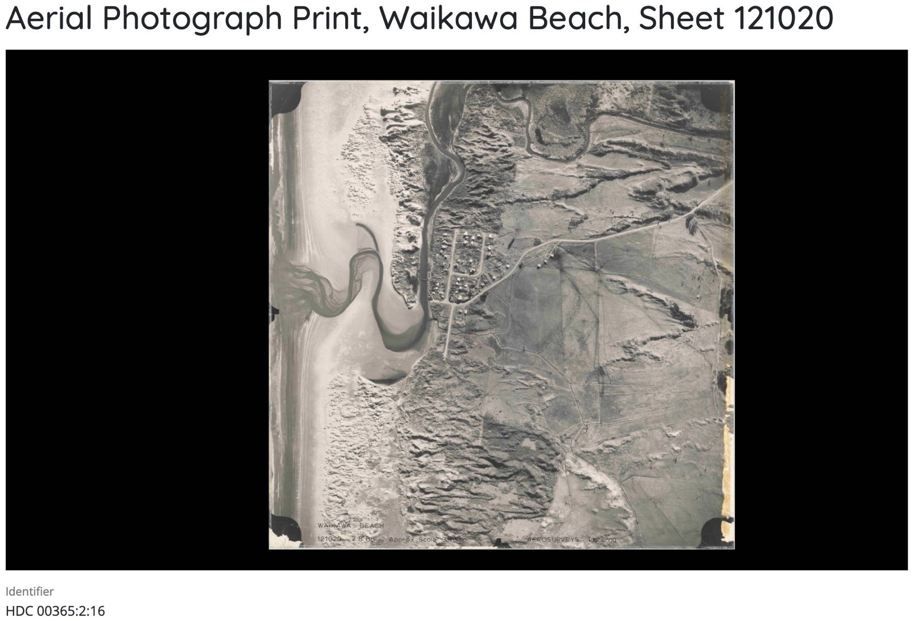
Photo notes
Note: the photo above is only a screenshot, but you can zoom in a long way and with great resolution on the real thing. See it at: Aerial Photograph Print, Waikawa Beach, Sheet 121020 | Archives Central.
This century note: scale 60.35 metres (3 chains) to 2.54 cm (1 inch).
It’s interesting to note the location of the old footbridge, about 3 properties along Drake Street rather than at the end of Waikawa Beach Road. Also how the river loops back on itself and exits to the sea quite north of its current location — round about where 17 Manga Pirau Street is now.