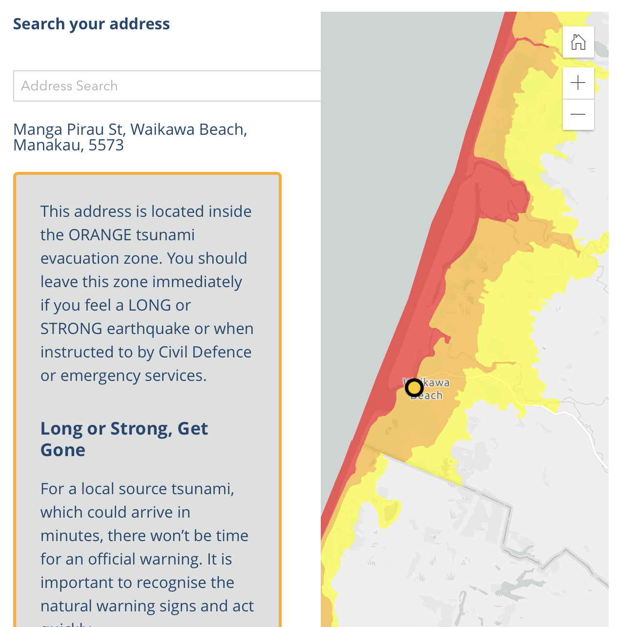
The Government has created a nationwide tsunami evacuation map. It’s not surprising that if we plug in a Waikawa Beach address we show up as being in the Orange zone or maybe the Yellow zone. Note though that the beach north of the river mouth (across the footbridge) right up to Ōhau is all Red zone.
I’ve looked all over but can’t find any definitions for the Yellow, Orange and Red zones. For all zones the advice is:
You should leave this zone immediately if you feel a LONG or STRONG earthquake or when instructed to by Civil Defence or emergency services.
As soon as the shaking stops, move immediately to the nearest high ground or as far inland as you can out of tsunami evacuation zones.
Presumably if you’re in a Red zone you’re done for: the sea will come at you from one side, and travel up the river and come at you from the other side too.
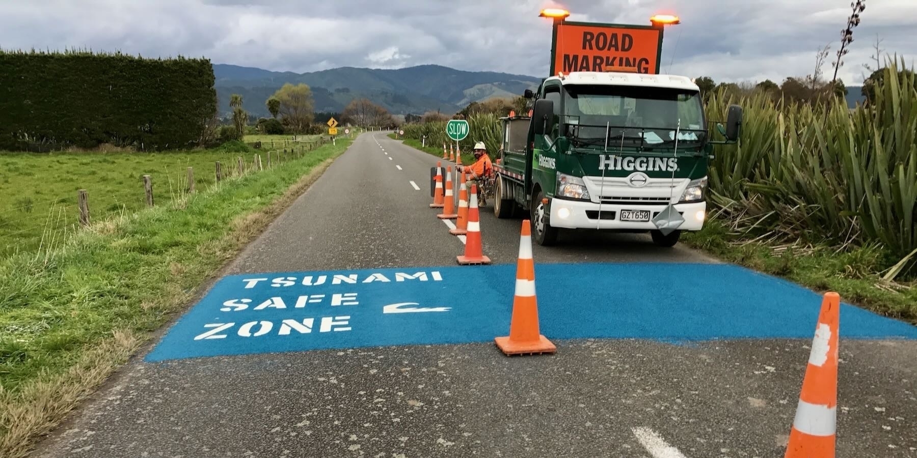
Otherwise: check out what’s nearby for higher ground, or how you can travel along Waikawa Beach Road to the blue safe zone road markings.

Update: see also New Tsunami Safe Zone marking from 02 December 2022.