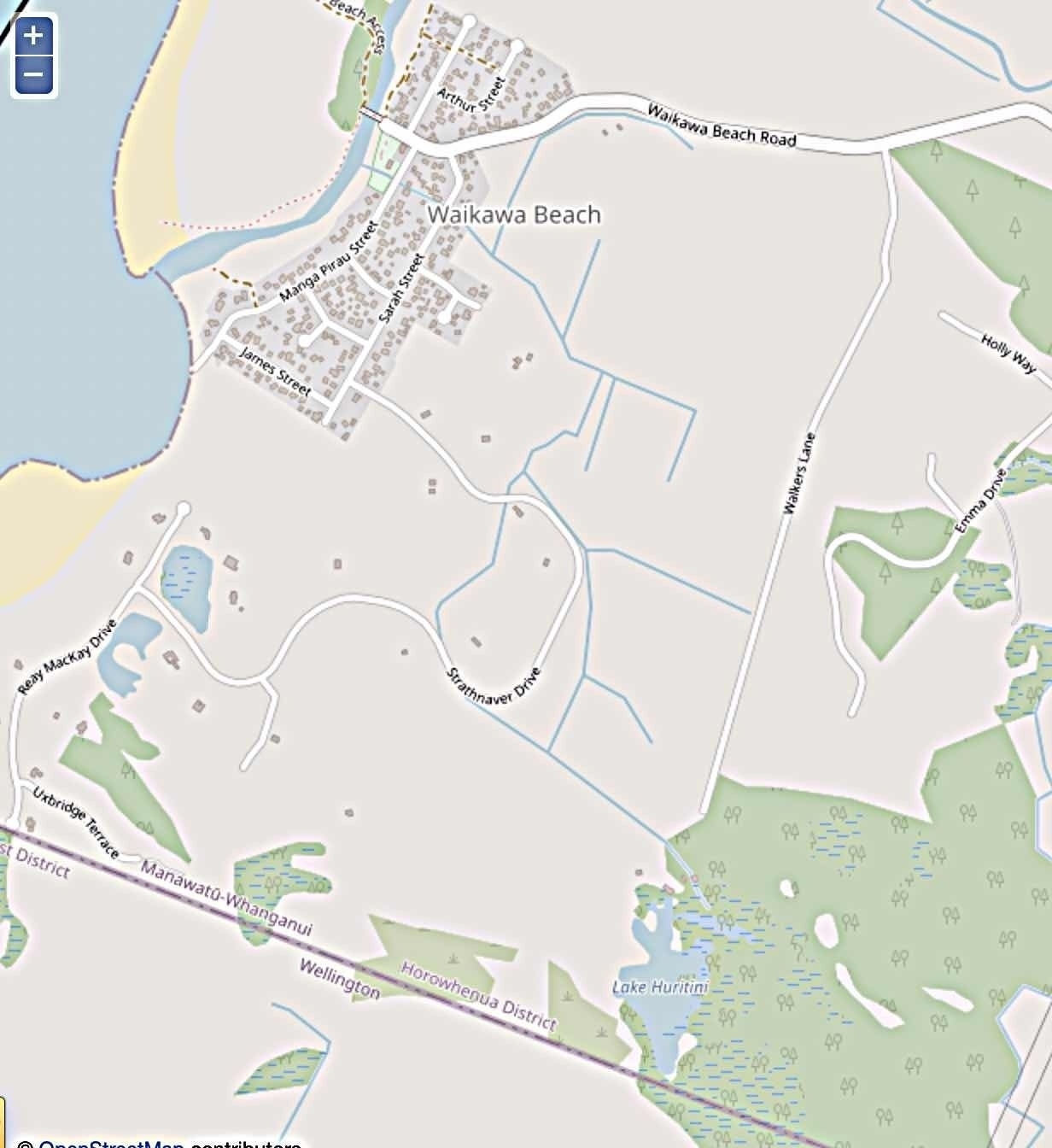
An interesting thing about the Electra Outages site is their map of Waikawa Beach, which shows us the streams and drainage ditches in the area. [Note, 05 June 2023: it seems the map has changed and no longer shows the streams and ditches.]
There’s a stream that emerges from Lake Hurutini (bottom right corner of the map). It flows into the Strathnaver area, and then branches to go across Strathnaver Drive (by number 123) and into the Miratana block then exit across Strathnaver Drive again (by number 42). It also flows alongside Strathnaver Drive for a bit (between about numbers 75 and 39). A couple of ditches between Walkers Lane and Strathnaver Drive also feed into it.
Then, fed by a few more ditches in paddocks, it makes its way to the north end of the village where it disappears under and across both Sarah (round about numbers 12 to 14) and Manga Pirau Streets (round about numbers 8 & 10), finally passing under the bottom end of Hank Edwards Reserve to drain into the river.
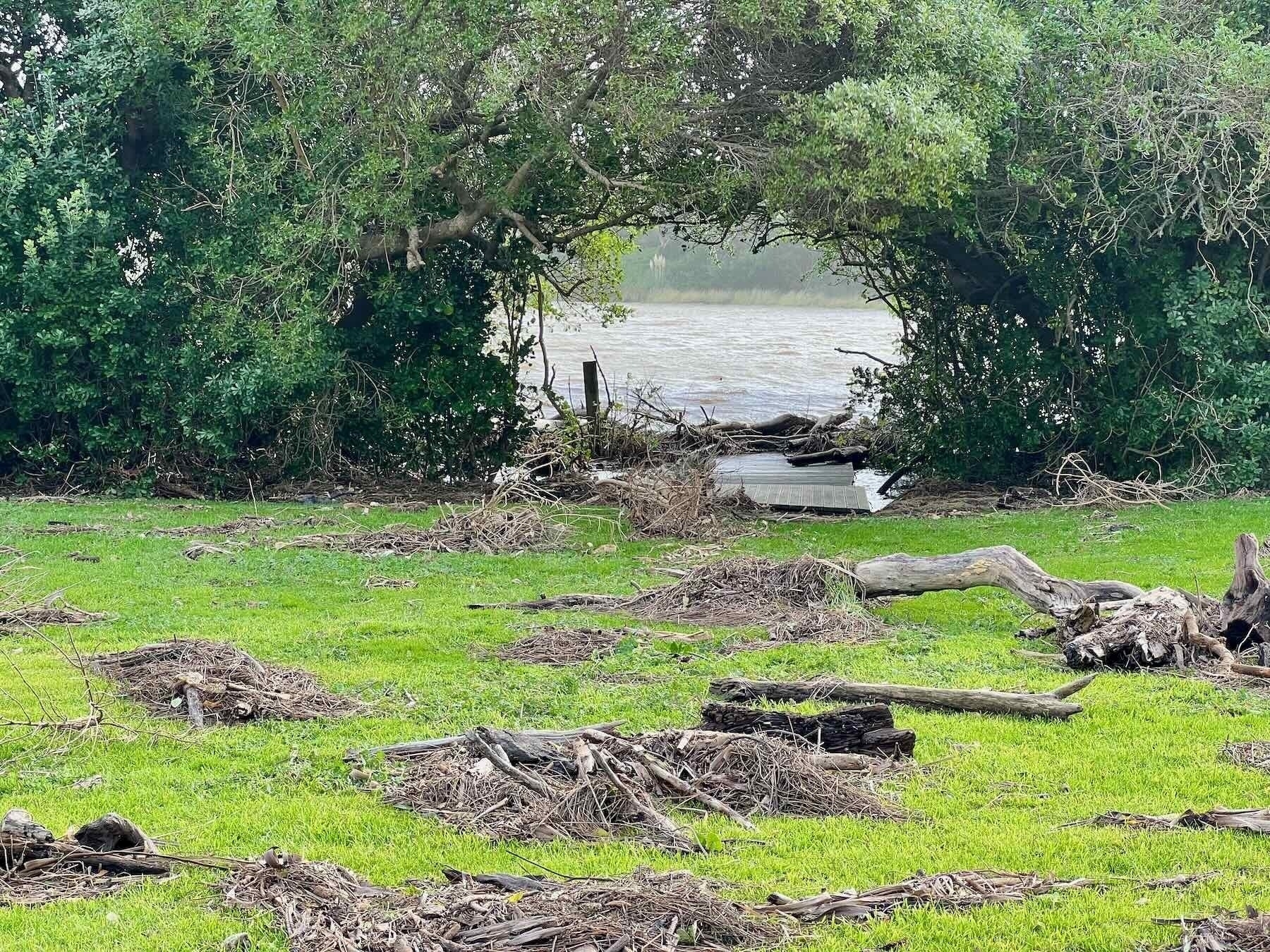
There’s a wooden platform in Hank Edwards Reserve just above the drain where it exits into the river.
That same drain is the point where water entered Hank Edwards Reserve on 13 June 2022, creating a flood at high tide.

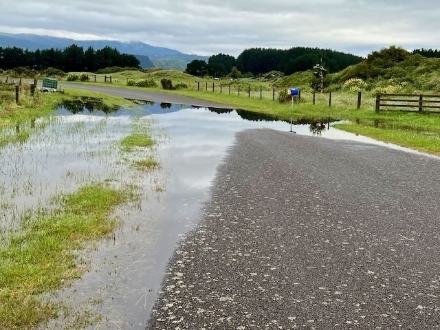
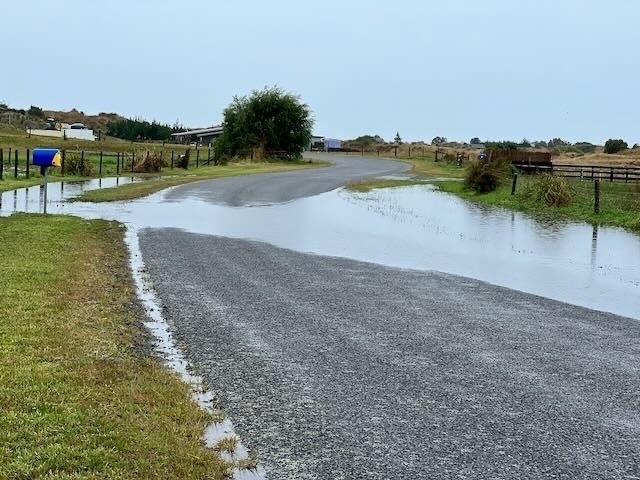
This stream is the main contributor to the Strathnaver puddle, which appears outside number 111 Strathnaver Drive when there’s a lot of rain, occasionally even going all the way across the road. A couple of years back the Council made sure the ditches nearby were cleared and the puddle’s not the problem it used to be, but it still pops up regularly.


These streams are a bit hidden from everyday view, so it’s interesting to see a map that shows them so clearly.
Update, 17 June 2022: over on the Waikawa Beach Facebook page where this post was linked, Philip Milson commented:
There used to be a lagoon in the back of Sarah St way back in the 1800s. The stream used to be an open drain from the river to Manga Pirau St when we were kids. Very good eeling spot for the pink blind eels.
