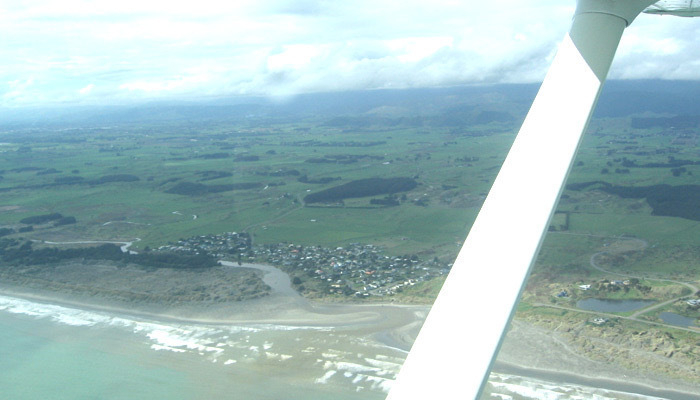
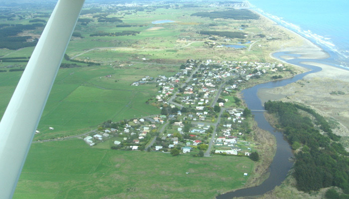
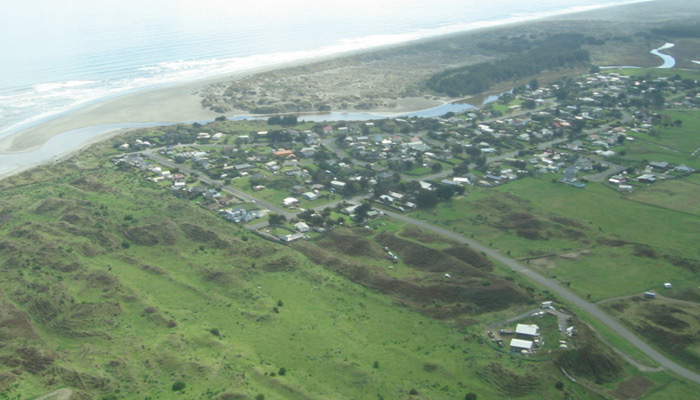
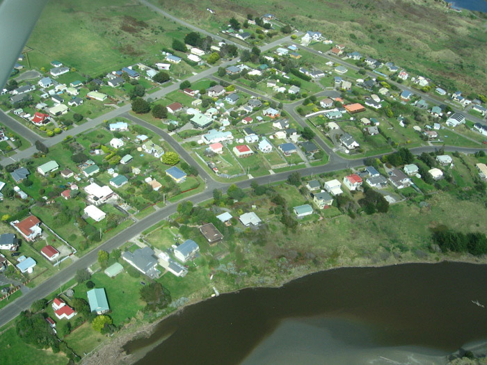
Aerial photos of Waikawa Beach, apparently from 15 September 2007.
Waikawa River mouth and estuary from a small plane, looking northeast. Includes the Strathnaver lakes, Waimarie and Te Puna a te Ora (Tranquil Waters and The Wellspring of Good Health). Waikawa River and village from a plane, looking south. Includes Lake Waiorongomai and the Strathnaver lakes, Waimarie and Te Puna a te Ora (Tranquil Waters and The Wellspring of Good Health). Aerial shot of Waikawa village, river and river mouth, looking northwest. Aerial view of Waikawa village between and around Manga Pirau Street and Sarah Street, looking southeast, includes a section of coast.